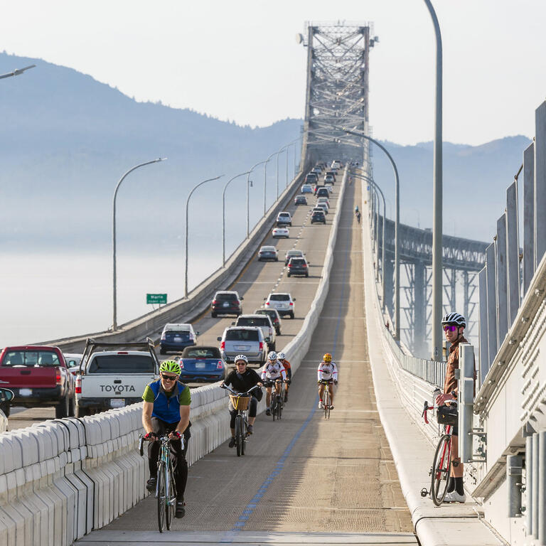
To help gain a better understanding of how the new path on the Richmond-San Rafael Bridge (RSR) is being used, Caltrans, in partnership with the Bay Area Toll Authority and UC Berkeley’s California Partners for Advanced Transportation Technology (PATH) program, recently released a survey for bicyclists and pedestrians using the four-mile-long segment of the Bay Trail spanning the bridge, as well as new improvements connecting the path to Sir Francis Drake Blvd. in Marin County.
Data gathered from the survey will be used as part of the After Study Report being prepared by PATH on the package of projects known as the Richmond-San Rafael Bridge Access Improvements, which includes the new eastbound peak-period vehicle lane that opened on the lower deck of the bridge in April 2018 as well as the bicycle/pedestrian path across the upper deck that opened in November 2019.
PATH partnered with Caltrans to complete the Before Study Report, prior to the opening of the path and peak-period vehicle lane and now continues to work on the After Study Report for the two projects. In addition to the pedestrian/bicyclist user survey and a business survey to be completed this fall, PATH is collecting and analyzing a variety of data related to the impact of the improvements, including traffic volumes, shoulder lane compliance, vehicle speeds, travel times, pedestrian/bicyclist counts, and incident rates. All of the collected data will be used to give Caltrans and BATA a comprehensive picture of how the RSR Bridge and Sir Francis Drake Blvd. improvements are impacting the region.
Members of the public are encouraged to take the survey available here: http://bit.ly/RSR-Survey and share the link with friends and family. Participants can expect the survey to take about eight minutes to complete.


